Notes · · 1 min read
Hill shading, and why the light comes from the northwest
Shaded relief is lit from the top left of the map, where the sun rarely is. There is a good reason.
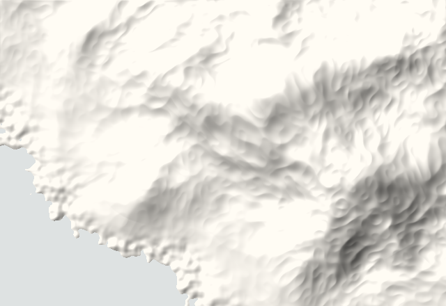
Hill shading treats an elevation model as a plaster surface and lights it with a lamp. Each cell is brighter the more directly it faces the light: its shade is the cosine of the angle between the surface and the direction of the light.
The usual lamp sits at an azimuth of 315 degrees, the northwest, 45 degrees above the horizon. Across most of the northern hemisphere the sun spends its day in the south, so this is not realism. It is perception: people read light as coming from above, which on a map in front of you means from the top. Light the same terrain from the south and many readers see valleys as ridges and ridges as valleys, an effect known as relief inversion.
Two adjustments matter in practice. Flat land should not turn into grey mud, so we lift the shade until flat ground is close to the paper and only slopes turned away from the light darken. And on small screens we raise the vertical exaggeration, because relief viewed at arm's length on a phone reads flatter than the same relief on a printed sheet.